
New Brave World: GeoTales

Workshop with Esther Polak (NL)
Introduction
GeoTales proposes a unique and exceptional experimentation with mobile and location based technologies (GPS: Global Positioning System, Bluetooth,..) in a creative context.
Conceptually the workshop will focus on the tension between “objective mapping” and subjective mapping” and how locative media relate to both. At this moment in time many possibilities of GPS data collection and visualization are available. Mapping becomes more and more personalized.
Does mapping thus become a story telling tool for everybody? Now that we can easily combine GPS with other personal data such as photo, video or audio what does this bring? Will proposed geosophy of John K. Wright in his lucid 1946 article “Terrae Incognitae: The Place of Imagination in Geography” become true and available for everybody? If Google maps becomes the standard of personalized mapping, how subjective can it still be? Do we then need to design more flexible, software tools?
Workshop Content
The first day of GeoTales will be dedicated to “best practices” in the field of locative media. Daniel Belasco Rogers from Plan B (UK/DE), Gwenola Wagon (FR), Matthias Stevens (BE) and Esther Polak (NL) are invited to present their projects. This session will be open to the public.
During the workshop participants will hit the streets to dig up experiences of real-life locative media use. Based on the data collected in the streets, we will research on existing tools to present, store and edit the collected data. From these experiences we will develop concepts for locative projects. And make a start with hands on development of tools: based on existing open source GPS editing tools or newly developed from scratch.
The workshop will be concluded by a public event where participants can present and discuss their projects.
Hardware and Software environment
We will work with the following provided GPS devices: Garmin Geko 201, bluetooth GPS dongle, blackbox GPS logger track key, Nokia N95 (GPS enabled phone), Nokia N810 (GPS enabled tablet), Tom Tom,…
But if you have your own equipment or tools you want to try, please bring them along!
We will focus on Open Source or free GPS editing or viewer softwares (Gps visualizer, Viking, Google Earth, Google Map, VeoGeo …), Processing… or any other software you know and would like to use.
Media Gallery <>

GeoTales workshop. View on Flickr 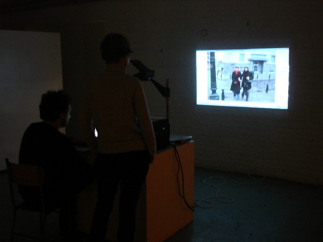
GeoTales workshop. View on Flickr 
GeoTales workshop. View on Flickr 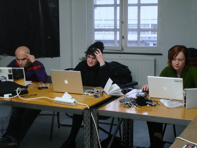
GeoTales workshop. View on Flickr 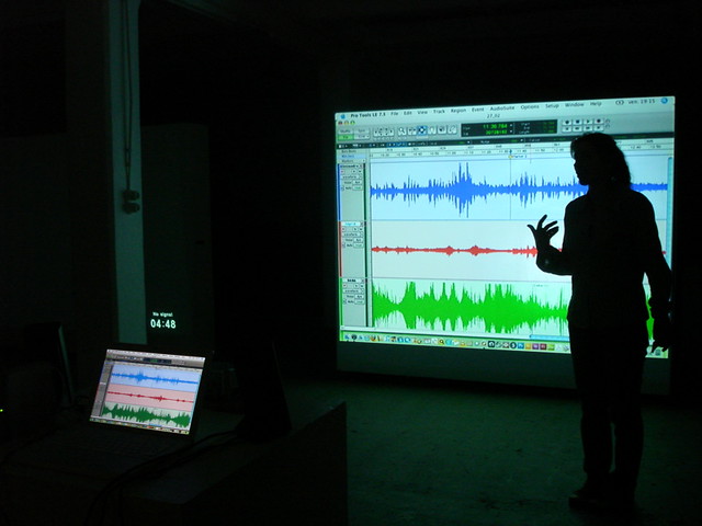
GeoTales workshop. View on Flickr 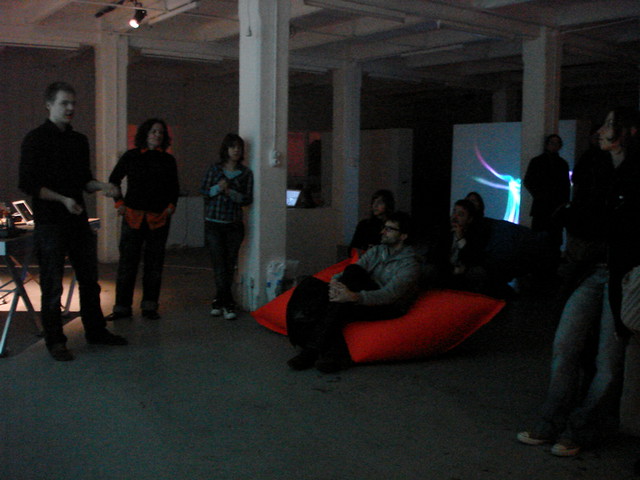
GeoTales workshop. View on Flickr 
GeoTales workshop. View on Flickr 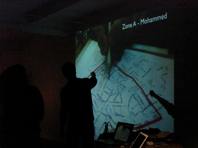
GeoTales workshop. View on Flickr 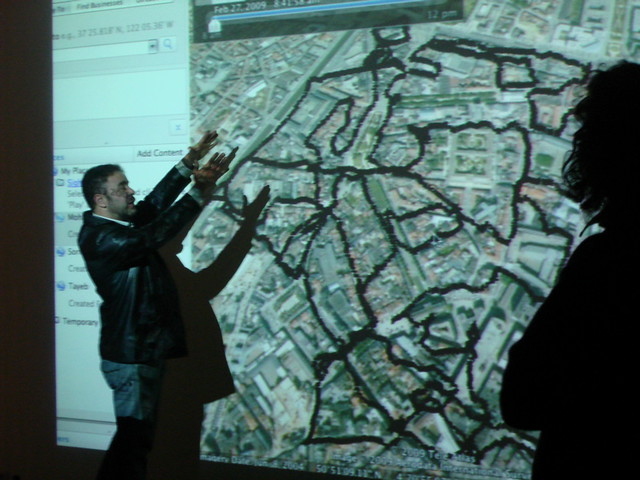
GeoTales workshop. View on Flickr 
GeoTales workshop. View on Flickr 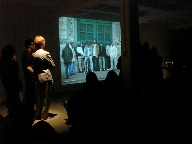
GeoTales workshop. View on Flickr 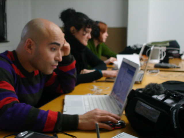
GeoTales workshop. View on Flickr 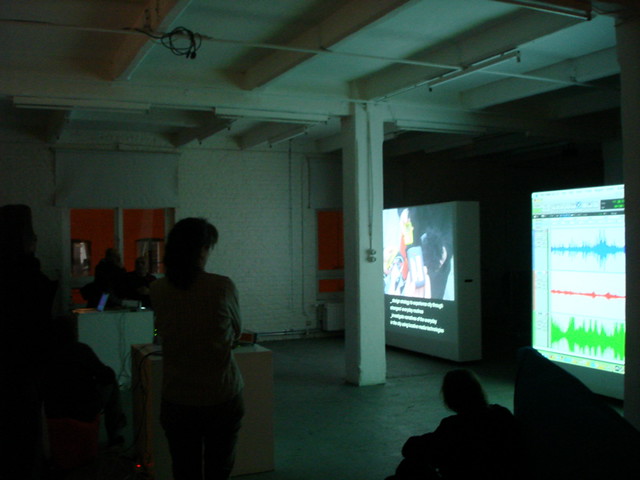
GeoTales workshop. View on Flickr 
GeoTales workshop. View on Flickr 
GeoTales workshop. View on Flickr 
GeoTales workshop. View on Flickr 
GeoTales workshop. View on Flickr 
GeoTales workshop. View on Flickr 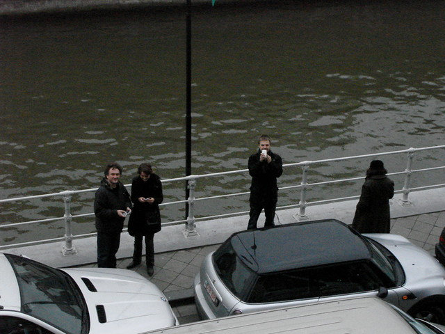
GeoTales workshop. View on Flickr 
GeoTales workshop. View on Flickr 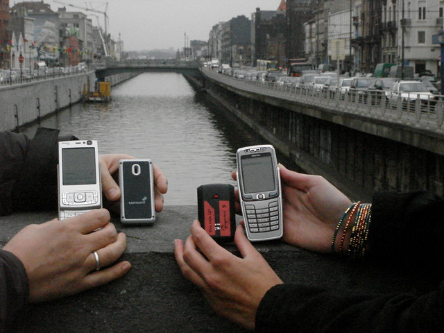
GeoTales workshop. View on Flickr 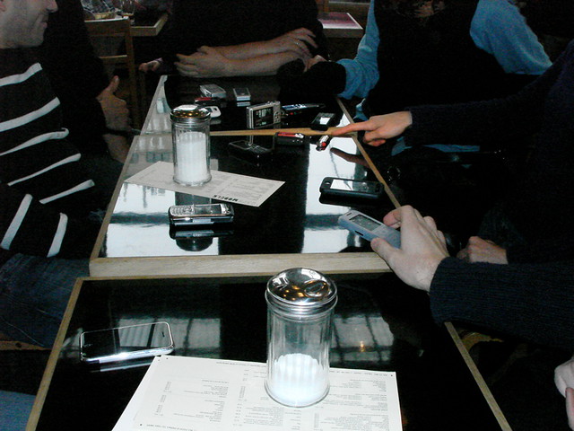
GeoTales workshop. View on Flickr 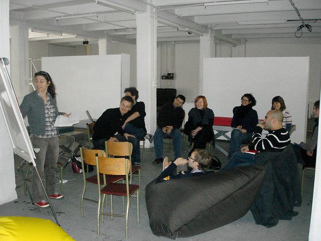
GeoTales workshop. View on Flickr 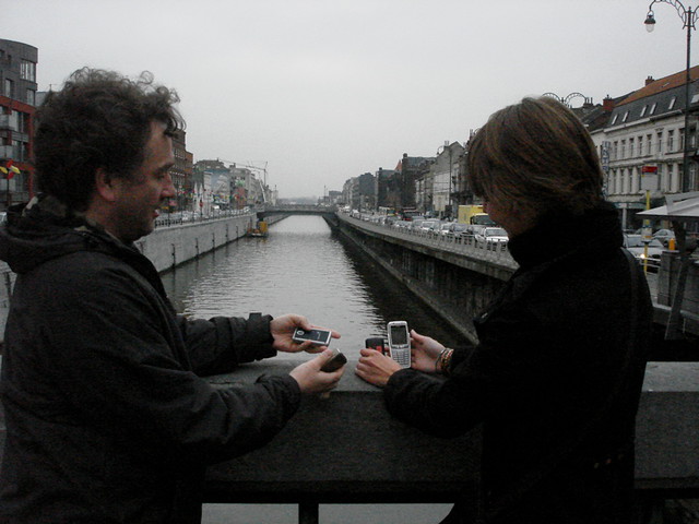
GeoTales workshop. View on Flickr 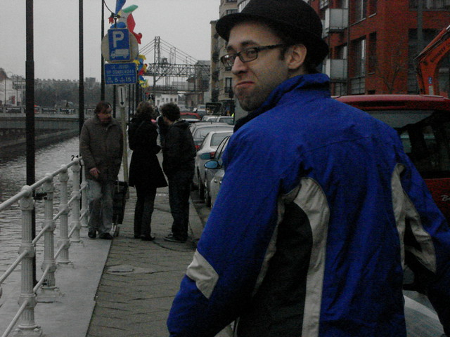
GeoTales workshop. View on Flickr 
GeoTales: Intro to locative media art. View on Flickr 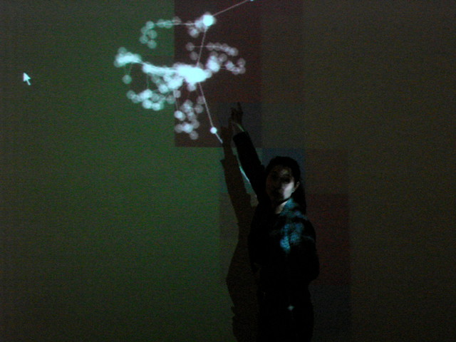
GeoTales: Intro to locative media art. View on Flickr 
GeoTales: Intro to locative media art. View on Flickr 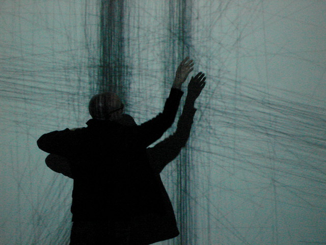
GeoTales: Intro to locative media art. View on Flickr 
GeoTales: Intro to locative media art. View on Flickr 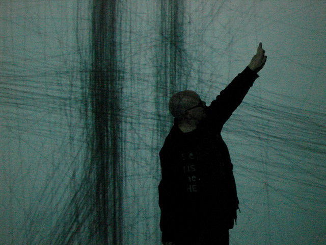
GeoTales: Intro to locative media art. View on Flickr 
GeoTales: Intro to locative media art. View on Flickr 
GeoTales: Intro to locative media art. View on Flickr 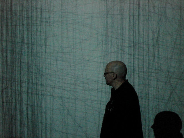
GeoTales: Intro to locative media art. View on Flickr 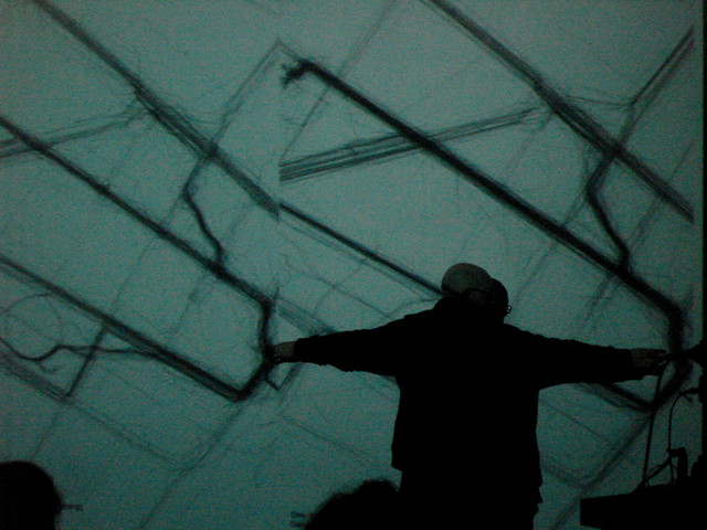
GeoTales: Intro to locative media art. View on Flickr 
GeoTales: Intro to locative media art. View on Flickr 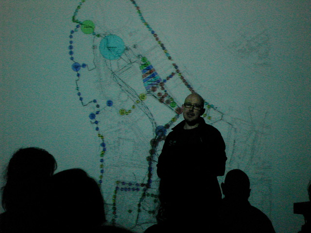
GeoTales: Intro to locative media art. View on Flickr 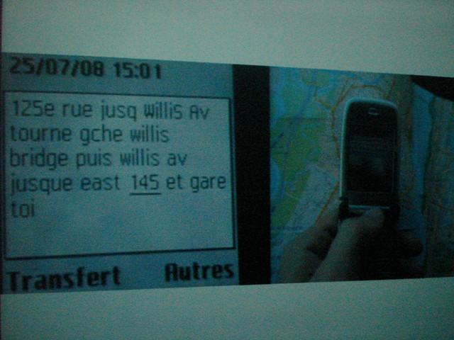
GeoTales: Intro to locative media art. View on Flickr 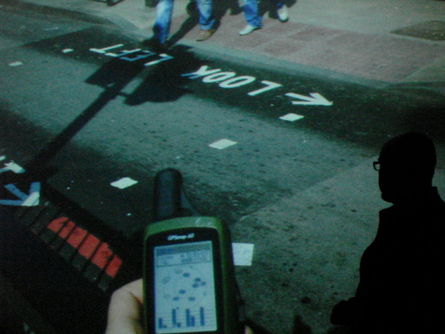
GeoTales: Intro to locative media art. View on Flickr 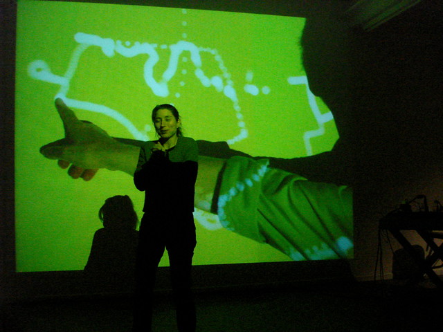
GeoTales: Intro to locative media art. View on Flickr 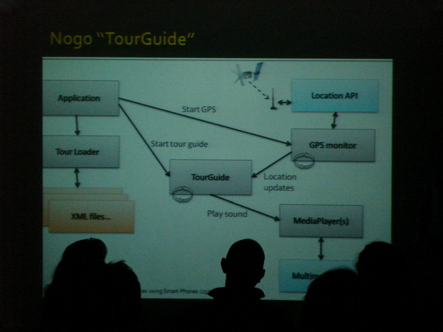
GeoTales: Intro to locative media art. View on Flickr 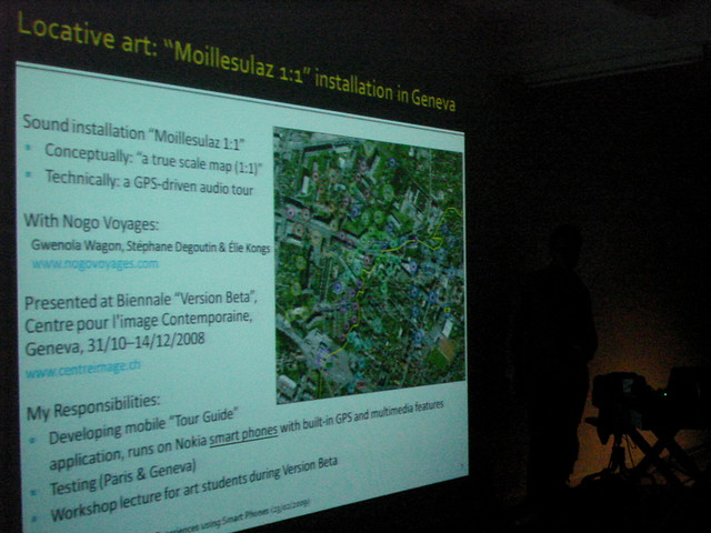
GeoTales: Intro to locative media art. View on Flickr 
GeoTales: Intro to locative media art. View on Flickr